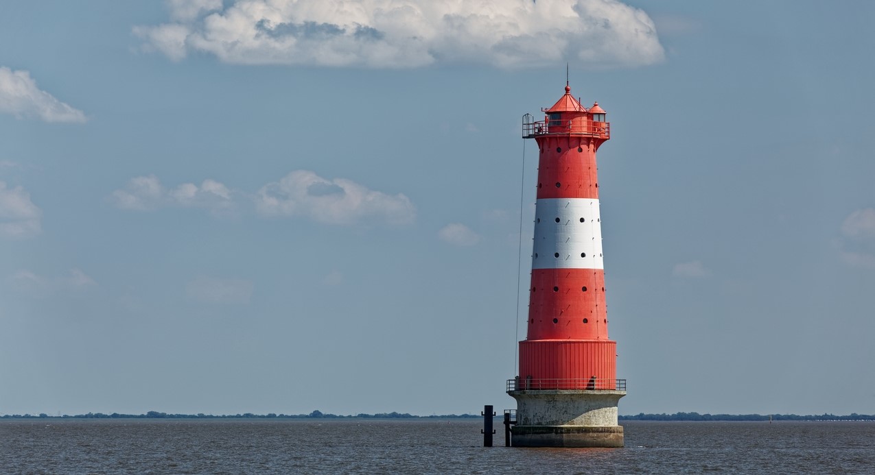
River Jade (DE) to River Eider (DE)
- Length: 255 km (160 miles) in 14 sections
- Terrain: flat
- Regions: Saxony and Dithmarshen
From the River Jade to the River Eider, marking the beginning of North Frisia or Kreis Nordfriesland. This stage covers the German Bight, including the mythical rock island Heligoland (also Helgoland) where the Germanic goddess Fosete (also spelled Forseti) was worshiped by the Frisians. This Frisian god even found its way into Norway.
Trail Sections
- section 7.1: Eckwarderhörne – Burhave
- section 7.2: Burhave – Blexen/Bremerhaven
- section 7.3: Blexen/Bremerhaven – Wremen
- section 7.4: Wremen – Midlum
- section 7.5: Midlum – Berensch
- section 7.6: Berensch – Cuxhaven
- section 7.7: Cuxhaven – Neuhaus
- section 7.8: Neuhaus – Freiburg
- section 7.9: Freiburg – Glückstadt
- section 7.10: Glückstadt – Sankt Margarethen
- section 7.11: Sankt Margarethen – Burg
- section 7.12: Burg – Meldorf
- section 7.13: Meldorf – Büsum
- section 7.14: Büsum – Tönning
Description
During the Roman Period it was the territory of the Maiores Chauci ‘major Chauci’, with the Minores Chauci ‘minor Chauci’ living to the west, present-day region Ostfriesland (East Frisia). To the north, this region borders to Kreis Nordfriesland (North Frisia). After the fall of the Roman Empire and the Migration Period, the mouth of the River Elbe became territory of the Old Saxons.
Much of this region, except the rock island Heligoland where a dialect of the North-Frisian language is spoken, and except for Land Wursten on the eastbanks of the mouth of the River Weser where until the seventeenth century Frisian was spoken, historically has never been part of the Frisian cultural area. As soon as you cross the River Weser and passed the port town of Cuxhaven, you have left hisytorical Frisian cultural land, only to enter it again when crossing the River Eider. Land Wursten, and the Wurstfriesen ‘Wurst-Frisians’, was a free farmers republic until, after many battles, they lost their freedom in 1525 to the bishop of Bremen.
Although this stage has never been part of political Frisia, the area between the rivers Weser and Elbe (Schleswig-Holstein) can compete for the title ‘cradle of the Frisians’. During the Migration Period, it were the Angles and Saxons migrating from this region, not only to what is now east and southern England, but they also settled in the almost deserted areas of Mid Frisia and the coastal parts of West Frisia. An energetic bunch, those Saxons must have been.
When crossing the River Elbe you enter what was named during the Early Middle Ages Nordalbingia. This land stretched all the way to the Danevirke in the north. As said, this was and is Saxon territory, meaning with Nordalbingia meaning ‘north of Elbe’. In Latin language the River Elbe is called Alba. Interestingly, in Scottish Gaelic Scotland is named Alba. Etymological Alba is derived from the Greek word albion and traced back to the meaning ‘white’. Maybe because of the white-haired people?
Kreis or region Dithmarschen, geographically part of Nordalbingia, is sometimes associated (in Old-Frisian law codices) with Frisia, but it is not. And, we do not want to insult anyone. Dithmarschen was an isolated area because it was ‘sealed-off’ from the mainland by extensive and impenetrable peatlands. Both the Ditmarsians (the Thiadmaresgaho) and the Frisians, including the Wurstfriesen, have a similar history of living on tidal marshlands, together with a similar history concerning the disappearance or absence of feudal structures during most of the Middle Ages. A lord-free, peasant republic as well, therefore. So, the Frisians are not unique when it comes to dwelling mounds and a very old republican history. Therefore, nor are the Ditmarsians.
Recommended posts
- A severe case of inattentional blindness: the Frisian tribe’s name
- Joan of Arc an inspiration for Land Wursten
- Like Father, Unlike Son
- Rescuing Rolling Sheep
- Harbours, Hookers, Heroines and Women in Masquerade
- Happy Hunting Grounds in the Arctic
- Yet another wayward archipelago
- It all began with piracy
- Out of averting the inevitable a community was born
- Sailors escaped from Cyclops
- Atlantis found! Wait, there is another one, or 7, wait 12 in total… No, 19!
- Rats with wings or Masters of the Sky
- Liudger, the first Frisian apostle
- Half a million deaths. A forgotten North Sea disaster…
- Racing the Wadden Sea with a mud sled
- Manual Making a Terp in 12 Steps
Photo’s
For a first, visual impression of this stage, click here.

