River Lek (NL) to River IJ (NL)
- Length: 110 km (65 miles) in 4 sections
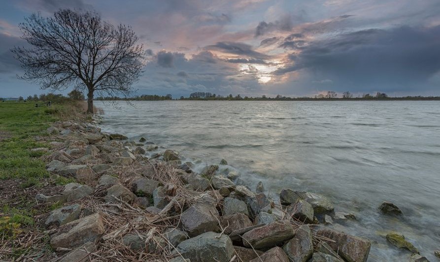
- Terrain: flat
- Region: West Frisia
From the River Lek to the River IJ, also called River Oer-IJ, and the town of Velsen-Zuid, near the Netherlands’ capitol Amsterdam. It is where the grand Roman Empire had to accept their limits and halted their expansion north after the major defeat (1,300 casualties) against the Frisians, i.e., Frisii Minores. It is a landscape that has been dramatically changed during the High Middle Ages once large-scale commercial peat excavation started. Read our blog post The United Frisian Emirates and Black Peat. How Holland became Dutch.
Trail Sections
- section 2.1: Wijk bij Duurstede — Utrecht
- section 2.2: Utrecht — Breukelen
- section 2.3: Breukelen — Muiden
- section 2.4: Muiden — Marken Island
Description
This stretch could opt for the true Frisian heartlands during the Early Middle Ages. The present-day province of Zuid Holland, the region of Het Gooi, and the city of Utrecht might very well have been the center of power of the Frisian kings. At the mouth of the River Old Rhine, at Rinasburg which is the predecessor of the present-day town of Rijnsburg, a so-called Central-Place-Complex (CPC) existed, indicating an elite powerbase. A similar CPC is thought to have existed at the mouth of the River Meuse.
The suggested Frisia Coast Trail itinerary does not pass through the former strongholds at the coast. Instead, it will take you along the River Kromme Rijn, ‘crooked Rhine,’ and the River Stichtse Vecht from the town of Wijk bij Duurstede, which is the successor of the illustrious emporium Dorestat, to the city of Utrecht, and on to the old castle at the village of Muiden, also called Muiderslot, at Lake IJsselmeer. This is an ancient trading route connecting the hinterlands of the kingdoms of Francia with the terp region in the northwest of Germany and the Netherlands, and from there with southern Scandinavia.
Stage 2 continues to follow the UNESCO-listed (since 2021) Nieuwe Hollandse Waterlinie ‘new Dutch water line’. This is a series of water-based defence systems of forts and natural bodies of water, including the possibility to inundate large section of land. The Nieuwe Hollandse Waterlinie runs from the town of Muiden in the north to National Park De Biesbosch at Werkendam in the south. The trail follows the River Kromme Rijn ‘crooked Rhine’ and the River Stichtse Vecht.
The area of the River Stichtse Vecht is also the region of the old pagus ‘territory’ Niftarlake, where early-medieval Frisian counts had possessions, including the ancestors of Saint Ludger. Yes, even after Frisia was incorporated into the Frankish kingdom at the beginning of the eighth century, the Niftarlake remained governed by Frisian counts until the mid-tenth century. Read our blog post Attingahem Bridge, NY.
Of course, the city of Utrecht has a special place in Frisian history. From here the Franks converted the Frisians. It was the seat of the bishop ‘governing’ more or less the Sticht, which is the present-day province of Utrecht, and the present-day provinces of Zuid Holland, Noord Holland, and Friesland. The city has been sacked by King Radbod in the eighth century.
Photo’s
For a first, visual impression of this stage, click here.
